
PROJECTS
FILTER: ALL • ACTIVE PROGRAMS • RESEARCH & DEVELOPMENT • INTERNAL

GUNDI
The Gundi Program exists to solve that interoperability gap. Built by and for the global conservation community, Gundi (a word meaning “glue” in Swahili) is a free, open-source data integration platform that seamlessly connects any sensor and any application—so conservationists and developers can spend less time on custom integrations and more time on impact.
AKILI
The Akili Program is an AI-enabled conservation science platform designed to help teams manage, enrich, analyze, and share sensor-driven biodiversity data. Akili reduces the manual burden of processing large datasets and strengthens scientific workflows by supporting machine learning, computer vision, and open standards—so researchers and practitioners can spend less time sorting files and more time generating defensible ecological insight.

RAD BOXES
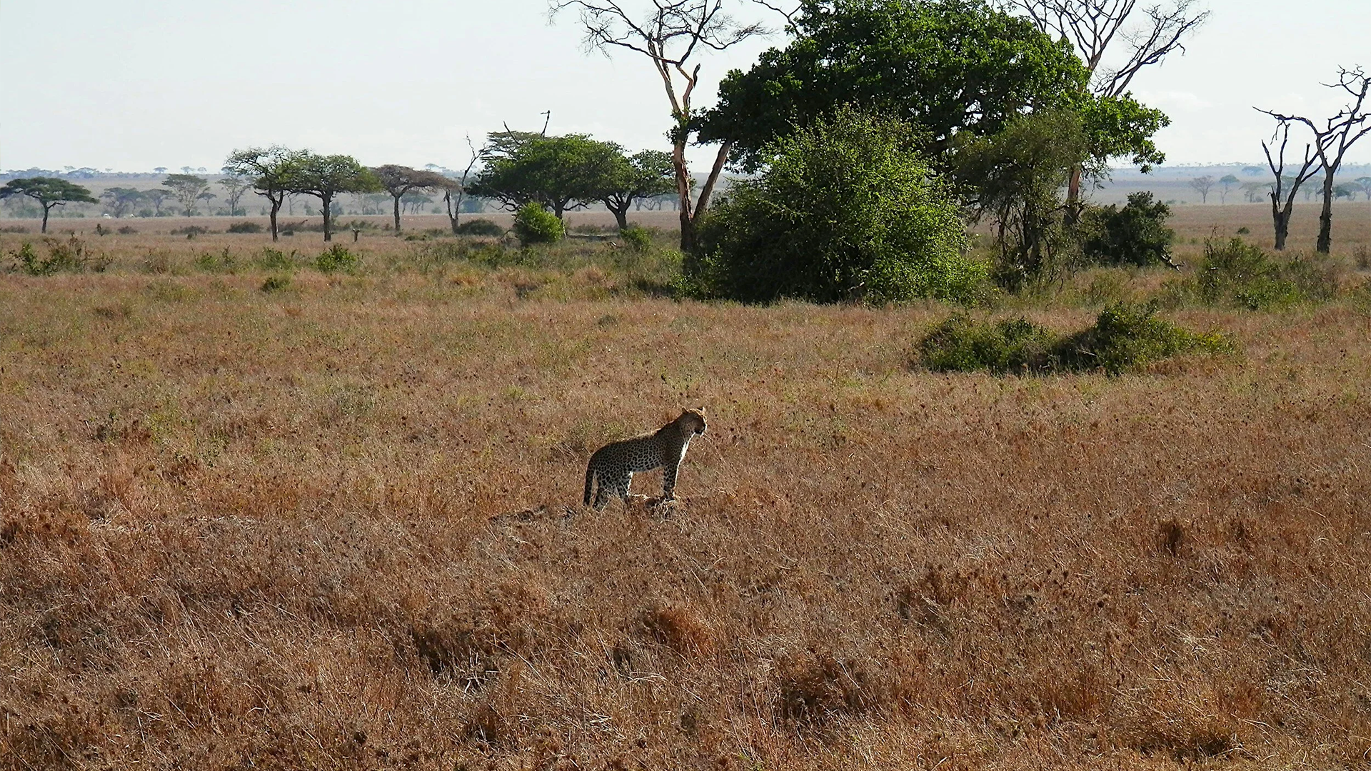
Our Conflict Mitigation Boxes (RAD Program) use AI-enabled Remote Activated Devices (RAD units) to help prevent conflict before it happens. RAD units are designed to detect risk conditions and trigger deterrent stimuli that discourage predators from approaching or interacting with high-risk areas—supporting safer human–wildlife coexistence, reducing property damage, and lowering the need for constant manual intervention.

SERCA
The SMART–EarthRanger Conservation Alliance (SERCA) is a first-of-its-kind global collaboration that brings together the SMART Partnership and EarthRanger to strengthen how protected and conserved areas are managed—combining field-proven patrol monitoring, real-time situational awareness, and advanced analytics to help teams protect wildlife, habitats, and people.

wpsWatch
wpsWatch is an AI-powered wildlife monitoring web app that helps protected area teams actively monitor landscapes and respond to real-time alerts from connected sensors—like camera traps, thermal cameras, and CCTV—using artificial intelligence, computer vision, and machine learning to support faster decisions and stronger field response.