
Featured
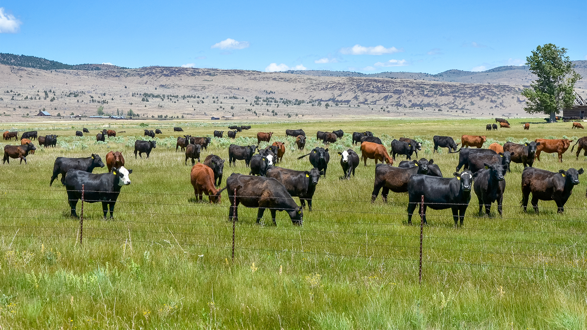

Working with Wildlife Protection Solutions, EarthRanger, and ranchers in Colorado, Wild Ranch monitors cattle behavior in areas with active pressure from wolves, coyotes, bears, and mountain lions. The program uses real-time alerts, AI-driven detection, and integrated response workflows to support human–wildlife coexistence while reducing the need for constant manual intervention—or lethal management.
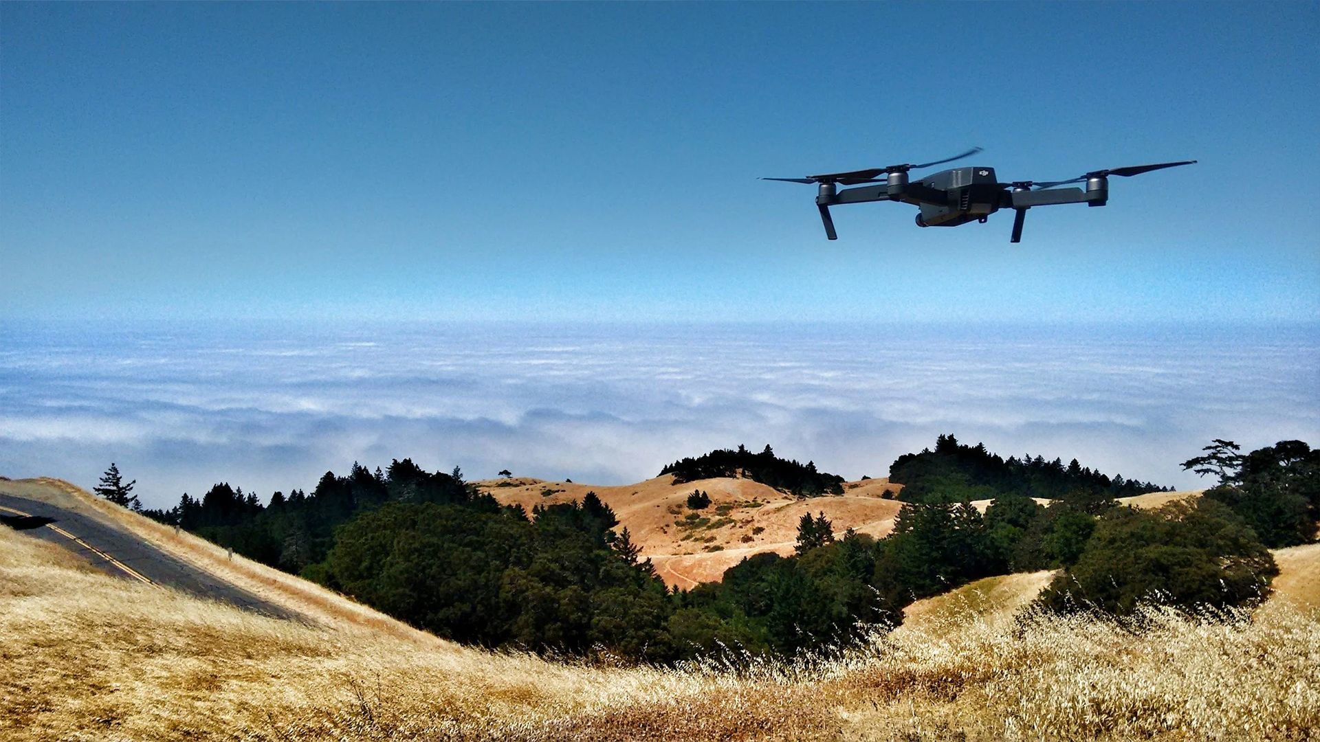
Named after Argus Panoptes—the all-seeing, hundred-eyed sentinel of Greek mythology—Project ARGUS (Autonomous Response and Ground Unit Support) is an autonomous aerial security and conservation platform. ARGUS fuses ground sensors, AI-enabled wildlife collars, and a docked beyond-visual-line-of-sight (BVLOS) drone into a single, always-on protective layer for endangered species and critical conservation assets.
The Gundi Program exists to solve that interoperability gap. Built by and for the global conservation community, Gundi (a word meaning “glue” in Swahili) is a free, open-source data integration platform that seamlessly connects any sensor and any application—so conservationists and developers can spend less time on custom integrations and more time on impact.
The Akili Program is an AI-enabled conservation science platform designed to help teams manage, enrich, analyze, and share sensor-driven biodiversity data. Akili reduces the manual burden of processing large datasets and strengthens scientific workflows by supporting machine learning, computer vision, and open standards—so researchers and practitioners can spend less time sorting files and more time generating defensible ecological insight.